
Cheshire ZIP Code Coverage
The verified local conclusion is narrow. 06410 is the confirmed postal ZIP associated with Cheshire, including Cheshire mailing addresses and the Cheshire Post Office at 210 Maple Avenue. No second current ZIP serving Cheshire town was located in the official sources reviewed. The label 06489 appears in a historical or operational postal context connected with Southington, but it is not verified as a second Cheshire residence ZIP.
| ZIP | Areas Covered | Post Office | Notes |
|---|---|---|---|
| 06410 | Confirmed Cheshire mailing addresses | Cheshire Post Office, 210 Maple Avenue, Cheshire, CT 06410 | Verify each full address with USPS |
| 06489 | Not verified as a current Cheshire residence area | Southington postal context | Historical or operational label caution, not a second Cheshire row |
The Connecticut State Library town and county page explains the town-centered geography, while the captured tax and mailing-address view comes from the Cheshire Collector of Revenue page.
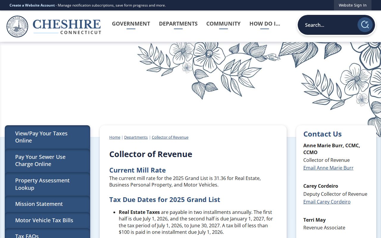
The local tax and mailing route reinforces the difference between a town record and a postal label. It does not create another ZIP row. For a disputed address, preserve the town, postal city, and ZIP as separate values and note which office supplied each one.
Cheshire’s 06489 ZIP Caution
A historical or operational label can look like a current delivery area when it is read without its postal context. The research located 06489 in a USPS Postal Bulletin association described as “CHESHIRE CT 06410,” with Southington context. That is not enough to place a residence in a second Cheshire ZIP. It is a caution about how postal operations and labels can appear in a document, not evidence of a second current residence route.
Use 06410 as the confirmed Cheshire row, then send every full address through USPS exact-address lookup. Do not turn a familiar neighboring label into a town boundary. A name, street, unit, and postal city can be more decisive than a ZIP remembered from an old envelope, tax record, or operational notice.
Note: The absence of a second verified ZIP is a research conclusion, not permission to fill the table with unconfirmed neighborhood codes.
Verify the Cheshire ZIP at the Address
USPS is the final check for a deliverable mailing ZIP. Its city-and-state mode can help orient a search, but an exact address mode is stronger when a street number, street name, unit, city, and state are known. Postal city and municipal town can differ. A result should be saved with the full address and date checked, especially when a property card, deed, voter document, or old directory uses a different mailing line.
The address verification screen is the official USPS ZIP lookup.
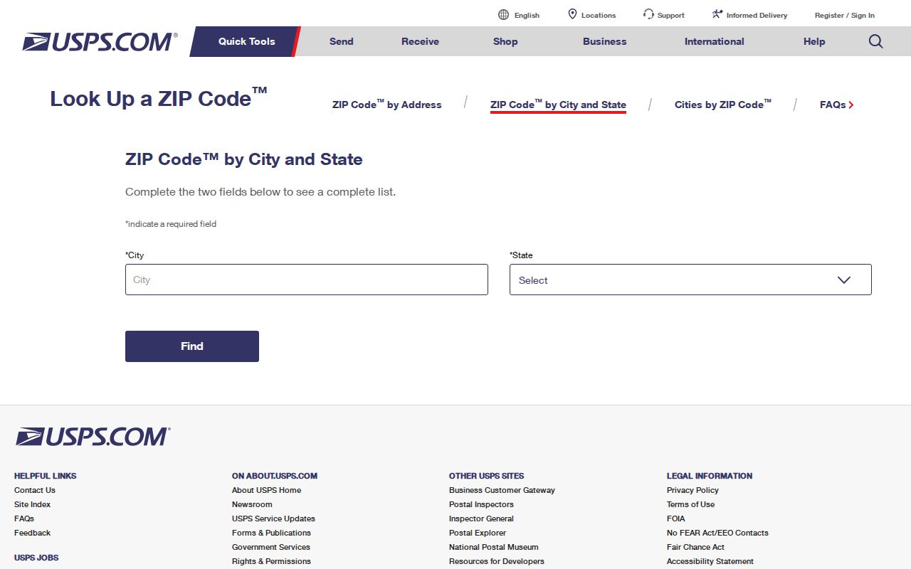
The result answers a postal question, not an ownership or residence question. It does not replace the Town Clerk's recorded deed, the Assessor's parcel card, the GIS situs field, or a lawful voter confirmation. It gives the cleanest way to resolve a city-state-ZIP mismatch before the search is narrowed further.
Cheshire Records Put the ZIP
Cheshire's main property systems do not begin with a ZIP filter. The Assessor Property Search uses owner, official street, house number, unit, MBL, unique identifier, use, and sales fields. GIS uses name, house number, street, parcel ID, and unique ID. In both systems, a mailing ZIP may appear in a result or parcel schema without being a search key. A postal directory cannot be treated as a direct export of the assessor or GIS database.
The Judicial Branch property mode is shown in the official property-address search, which includes an optional exact five-digit ZIP.
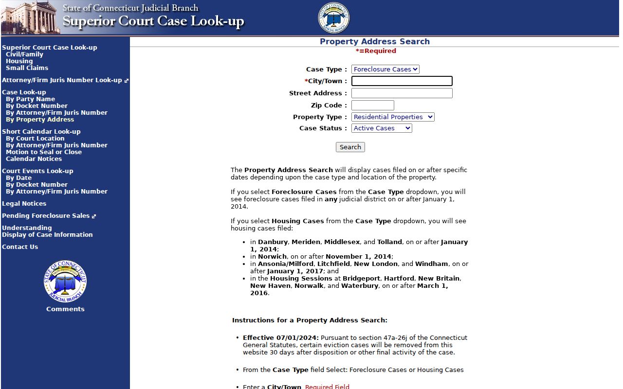
Each result class needs its own reading rule. A court address search returns cases within its category and date limits, not every parcel. An eLicense ZIP field returns credential records. A mailing ZIP in GIS is correspondence data. USPS returns delivery information. The field comparison below keeps those uses apart.
| Portal | ZIP field or filter | What the result means |
|---|---|---|
| Assessor Property Search | No dedicated ZIP search observed | Parcel and property results keyed by owner, street, number, MBL, or unique ID |
| GIS MapXpress | No ZIP search observed; MAIL_ZIP is a schema/result field | Parcel geometry, situs, mailing, districts, and public layers |
| Judicial Property Address | Optional exact five-digit ZIP | Address-linked cases matching the selected case, property, and status filters |
| Connecticut eLicense | ZIP text with address, city, state, and credential filters | Professional credential records, not a resident list |
| USPS | Exact address or city-state lookup | Postal ZIP for a deliverable address |
Cheshire ZIP Situs, Mailing, and Legal Values
The GIS schema makes the local distinction plain. LOCATION, STREET, HOUSE_NO, HOUSE_NUM, and UNIT identify the physical parcel path. MBL and MAP/BLOCK/LOT identify the tax and map key. MAIL_ADDR, MAIL_CITY, MAIL_STATE, and MAIL_ZIP identify a correspondence destination. A deed may use a subdivision lot, easement, map reference, or metes-and-bounds description instead of the street form. These values can all describe one parcel without being interchangeable.
A mailing ZIP may point to an owner, tax agent, mortgage servicer, or other correspondence destination. It is not proof that a person lives at the situs. Conversely, a directory or voter address can place a person at a date without proving title. Keep the postal, municipal, and legal descriptions in separate notes whenever a resident or property question crosses systems.
Cheshire's town-centered structure adds one more caution. New Haven County is a geographic division, not a county recorder or county address office. The Town Clerk holds local land records, the Assessor and GIS maintain parcel views, and USPS controls delivery verification. A postal directory that sends a deed question to a county office would start at the wrong keeper.
Cheshire ZIP Geography: ZCTA Is Not a Town Boundary
A Census ZIP Code Tabulation Area, or ZCTA, is a generalized representation of a USPS service area. It is built for statistical geography, not for deciding whether an exact address receives mail or sits inside Cheshire. A ZCTA can cross a municipal line, omit a deliverable address, or include a broad area that does not match a postal carrier's route. A ZCTA map should therefore be read as context around a ZIP, not as a legal town map.
The boundary explanation comes from the U.S. Census Bureau ZCTA guidance.
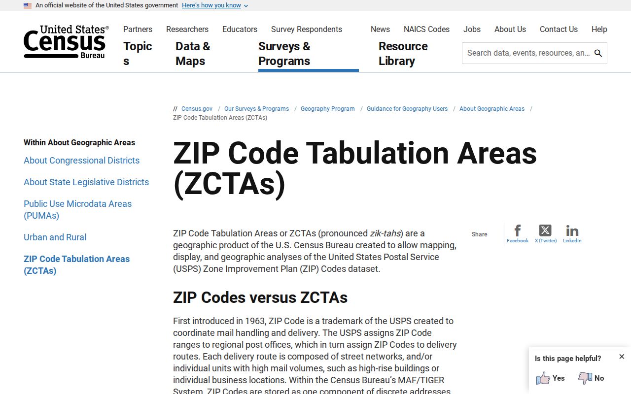
For a Cheshire address, compare the ZCTA idea with the GIS MUNI field, the physical situs, the USPS exact-address result, and the Connecticut 9-1-1 address point. A postal guide can describe that mismatch clearly: 06410 is the confirmed local row, while the municipal boundary and generalized statistical area answer different questions.
ZIP versus town. A postal ZIP is a delivery label. A municipal boundary is a government geography. A Census ZCTA is a statistical approximation of service geography. Do not use one as a substitute for the others.
911 Address Points and Cheshire Street Ranges
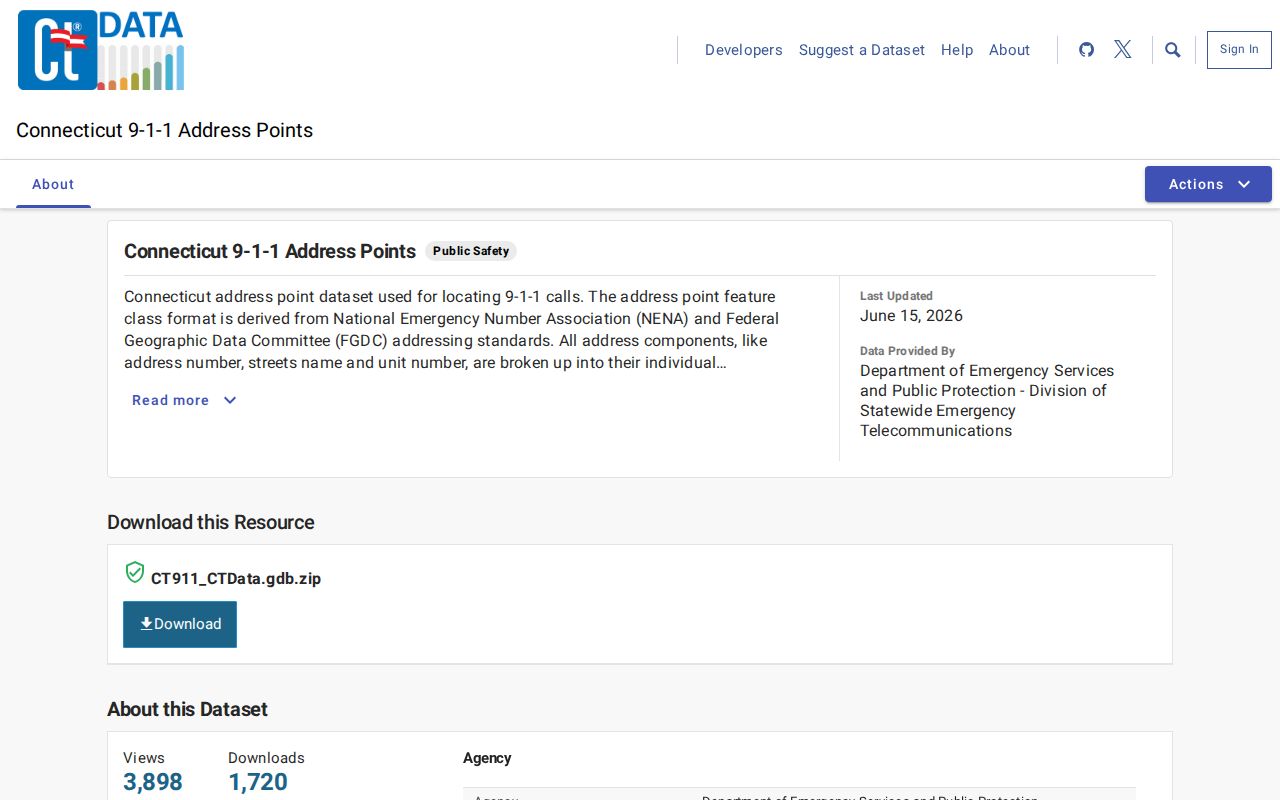
Connecticut's public 9-1-1 Address Points dataset is an additional address-standardization check. The dataset was updated 6/15/2026 and is refreshed quarterly. It is sourced primarily from municipal parcel data and carries address number, street name, unit, and NENA or FGDC-oriented address fields. It is not a voter file, a household list, or a replacement for USPS delivery verification.
The update date and address-point context are available in the Connecticut 9-1-1 Address Points dataset.
Cheshire's July 2025 street voter list shows why a street name is not one civic bucket. Its odd and even ranges split several roads by district:
- Academy Road separates odd 1-41 from the later and even range.
- Blacks Road separates the lower range from even addresses 508 and above.
- South Main Street places even addresses and different odd ranges in separate districts.
- South Meriden Road splits odd ranges and even addresses across districts.
Those ranges validate civic geography, not a residence list. Preserve the street, number, unit, municipal placement, postal result, and source date as separate fields.
Use the Cheshire ZIP Code Directory Carefully
A ZIP reference is most useful when it narrows a postal question and then hands the address to the right custodian. It should not promise every household, every owner, or every parcel inside a generalized shape. The record trail is simple: exact address, USPS result, municipal situs, parcel key, and then the person or record lookup that fits the purpose.
- ZIP versus ZIP+4
- The five-digit ZIP identifies a broad delivery area. ZIP+4 adds a more precise delivery segment for the address.
- PO-box ZIP
- A postal ZIP used for post-office boxes or a postal facility may not describe a physical residence.
- Unique ZIP
- A ZIP assigned to one institution or large delivery point is not a general townwide residence area.
- Carrier route
- A delivery path used by postal operations. It is finer than a ZIP and is not a public household roster.
- Write the exact street number, street name, unit, town, state, and ZIP already known.
- Check USPS exact-address results and save the returned postal city and ZIP.
- Compare the parcel's situs, MBL, and mailing fields in the Assessor or GIS system.
- Use the relevant record keeper for the next question, then verify the date and source.
Once the postal area is narrowed to a street, the Cheshire street directory supplies the address-keyed workflow. Keep its parcel, deed, voter-range, and planning layers distinct from the ZIP result. That separation is what makes the local postal directory accurate instead of merely broad.
Note: USPS controls deliverability, Cheshire parcel records control municipal placement, and a recorded deed controls the legal description.