
Looking Up Cheshire Neighbors
A block lookup is a set of public geography and record clues. The source table keeps parcel ownership, civic boundaries, event notices, and historical household leads apart so a map does not become a claim about everyone nearby.
| Source | What it shows about a block | Access |
|---|---|---|
| MapXpress parcel map | Adjacent shapes, public parcel IDs, owner or mailing fields, and map layers | Free web viewer |
| ArcGIS parcel REST layer | Geometry, MBL, address, district, edit, and source schema | Free public query |
| Assessor street search | Current street result rows and parcel card links | Free property portal |
| Cheshire voter street list | Odd/even ranges and voting-district splits | Official PDF, no household names |
| Planning public notices | Applications and, where required, owner notice within 500 feet | Town registry, event-specific |
| Library or Historical Society | Past households, property files, photographs, and local events | Staff or appointment route |
An assessor owner is not every person at the parcel. A mailing field is not a verified residence. A voter range is not a roster. A public notice is tied to one event. The block becomes clearer when each result is labeled by source, date, and what it can actually prove.
Select the Known Cheshire Parcel for Neighbor Research
Start with a street number and official street name in the Cheshire GIS / MapXpress viewer. If the address is unclear, try the parcel ID or unique ID from the assessor. Select the polygon, open Parcel Information, and write down the public identifier, MBL, map/block/lot, situs, and source date. Do not copy a household name into a public block list.
The MapXpress property view below shows the local parcel workflow. The portal reports approximately 11,011 parcels, property information updated nightly, and parcel edits updated in March 2026.
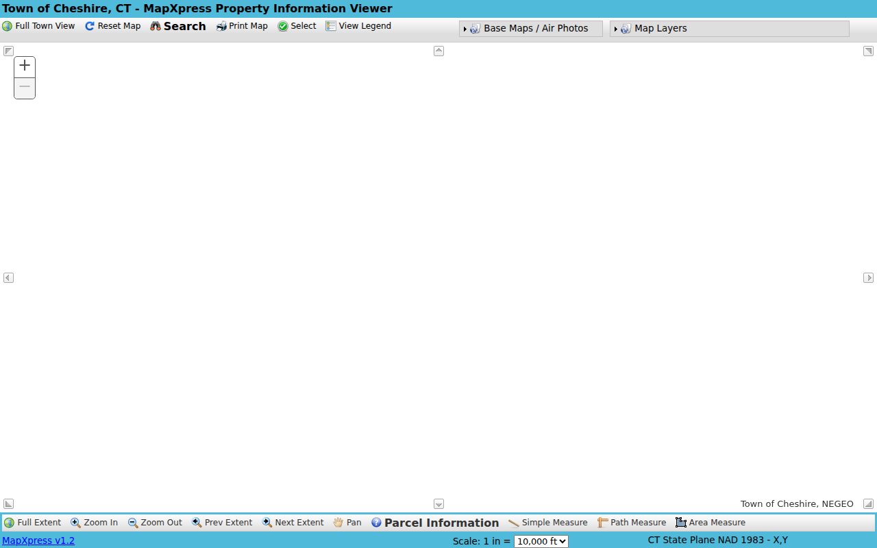
Use Search, Select, View Legend, and clear graphics to keep the map readable. Length and area tools help with orientation, but they are not a legal survey. A road, stream, rear lot, or open-space parcel can change what counts as an actual adjacent parcel.
- Search the known address, house number, street, parcel ID, or unique ID.
- Click the parcel polygon and save its MBL, map/block/lot, and source date.
- Pan to touching polygons and record public IDs rather than building a named household list.
- Check the assessor card and recorded map when an adjacency matters.
- Label every result as parcel, owner display, mailing field, district, or historical clue.
Pan to Adjacent Cheshire Parcels and Neighbors
After the known parcel is selected, pan outward one polygon at a time. The GIS layer can expose OBJECTID, UNIQUE_ID, MBL, MAP, BLOCK, LOT, UNIT, LOCATION, STREET, HOUSE_NO, ACRES, ZONING, VOTING_DIST, POLLING_LOC, MAIL_ADDR, and MAIL_ZIP. These fields create a reproducible parcel set without pretending that a map is a current list of occupants. For the full named-road chain, use the Cheshire street directory workflow.
The official Cheshire parcel REST schema is the source for the assessor and GIS image below. Its public query permission makes the field structure visible, while current values still need verification in the portal.
The assessor card can add displayed owner, land use, acreage, zone, buildings, year built, assessment, and sales context. Use those details as a parcel clue. A mailing address may belong to a person who does not live at the situs, and the card does not list every household member.
Describe a Cheshire Block for Neighbor Lookup
GIS layers make a Cheshire block legible without exposing private household details. Zoning, historic districts, open space, wetlands, FEMA flood data, prime farmland, school districts, voting districts, polling location, sewer and storm systems, fire hydrants, aerial imagery, and contours each answer a different geography question.
Use an aerial layer to compare the visible site across the flights listed by the portal, including 2006, 2012, 2016, 2019, and 2023. Do not read a roof, driveway, or tree line as proof of who lives there. Use the recorded map and Town Clerk record when a legal boundary matters.
- Adjacent parcel
- A parcel whose mapped geometry touches the known parcel, subject to map and legal verification.
- Voting district
- An electoral geography that can cross a named road by number or odd/even range.
- Public layer
- A mapped data set such as zoning, flood, open space, or school district context.
- Mailing field
- A correspondence value kept apart from the physical situs field.
Cheshire Street Ranges Split by District
The July 2025 official street list shows why a road name cannot stand in for a block. Academy Road, Blacks Road, South Main Street, and South Meriden Road use odd/even ranges that fall in different voting districts. A parcel’s number, side of the road, and current district all matter.
The street list is address-range geography, not a list of named voters. The public MyVote route is for an individual registration check, while a statewide voter-file request costs $300 and carries purpose and use limits. Keep a street range, parcel, and voter record as separate layers in a block note.
Note: A single street can cross voting, school, zoning, ZIP, and municipal layers without changing its name.
Cheshire Public Notices for Nearby Neighbors
Planning and Development notices can reveal a dated civic event near a parcel. Cheshire zoning materials can require an application to list tax-parcel owners within 500 feet. That radius is useful for finding a hearing or application around a block, but it is not a neighborhood directory and it does not show everyone who lives nearby.
The Cheshire Planning and Development registry is the source for the notice image below. The same town material warns about fraudulent messages that imitate municipal departments.
Open the notice from a typed town address, save the application date and parcel reference, and verify any owner list with the Town Clerk or Planning office. A public notice is an event record, not a current occupancy result.
Cheshire Subdivision Maps and Archives
Recorded subdivision maps can show lots, roads, easements, revisions, and the applicant or owner tied to a land-use event. Town Clerk land records and SearchIQS are the first places to test a subdivision name or map reference. The legal description, not a visual line on the current GIS, controls the parcel history.
The Cheshire municipal archive is a broad collection of reports and administrative records, not a guaranteed historic resident index. The Cheshire archive is useful for keyword, archive, time-period, and date-range searches when a block question concerns a town action.
For older household or property stories, the Cheshire Public Library and Cheshire Historical Society are better historical leads. The Historical Society at 43 Church Drive keeps property-related archives and uses an appointment route with the archivist.
Cheshire Association Rosters Are Not Public
Research located civic layers but no official town-wide neighborhood association directory or public HOA/member roster. The Planning public-notice registry allows notice recipients, landowners, electors, and nonprofits to register for civic information. GIS Historic Districts and Open Space layers show geography. Recorded subdivision declarations can show an association name or obligations, but not a current member list.
| Community layer | Verified Cheshire source | What is visible |
|---|---|---|
| Planning notices | Town Planning and Development | Event notices and registration context |
| Historic districts | MapXpress and Town planning pages | Geographic civic layer |
| Historical Society | Cheshire Historical Society | Property history and local archives |
| Subdivision associations | Town Clerk recorded maps and declarations | Instrument names or obligations, not current membership |
| Open-space groups | GIS Open Space and town planning context | Land-preservation geography |
When a community contact matters, request it from the organization or library rather than inferring a private roster from parcel records. The absence of a public list is a real research result.
Cheshire Neighbor Rolls Versus Compiled Tools
Compiled neighbor tools are a category of commercial data product. They may combine public filings, old address signals, and marketing data, but update dates and source paths can be unclear. Official Cheshire records are narrower, slower, and easier to audit because a custodian, field name, and record date are known.
| Source type | Strength | Limit |
|---|---|---|
| MapXpress | Adjacent geometry and public civic layers | Convenience map, not a legal survey or household roster |
| Assessor | Parcel and displayed owner key | Does not list every occupant |
| Voter street list | Range and district geography | No individual voter names in the PDF |
| Planning notice | Event-specific radius and parcel context | Not a standing block list |
| Compiled commercial tool | May bring several public clues together | Provenance, freshness, and correction path may be unclear |
For a block question, retain parcel ID, MBL, street number, district, source date, and custodian. Do not publish a list of names simply because a tool joins them.
Privacy Limits on a Cheshire Neighbor Lookup
Adjacent parcels are public geography, but household composition is not. Renters and non-owner occupants may not appear in the assessor. Utility customers, delivery records, and private association rosters were not located as public sources. The federal DPPA limits DMV address information. Connecticut’s Safe at Home program and voter privacy program can suppress a qualifying resident’s real address.
A no-result can reflect a protected person, a changed parcel, a street-range mismatch, a stale field, or a record that is not public. Do not try to defeat a privacy program by joining other data. Ask the proper custodian about correction, access, or safety procedures.
Lawful personal use. Cheshire neighbor research can help with civic awareness, family history, reconnecting, and understanding a block. Do not use parcel or address information to stalk, harass, intimidate, or harm anyone.