
Find a Cheshire Street Directory by Address
A street search works best when each step produces the key for the next source. The assessor uses an official street name and number. GIS adds a parcel polygon, MBL, and public district layers. The land-record index uses names, book and page, instrument number, or a legal description. The voter street list shows address ranges and districts, while a library directory provides a dated historical address.
For a current address, keep a short work note with the exact street spelling, number, unit, parcel ID, MBL, source date, and result type. This avoids joining two similar road names or treating a mailing address as the physical place.
- Run the number and official street name through the Cheshire Assessor Property Search.
- Open the matching parcel in MapXpress and save its MBL or unique ID.
- Use that parcel key and the owner name to search the Cheshire deed index.
- Check the Cheshire voter street list for odd/even ranges and district placement, not for a household roster.
- For an older address, compare a directory, newspaper citation, yearbook, deed, or map from the same period.
That is the core Cheshire street directory workflow: address to parcel, parcel to record, and record to a dated conclusion.
Cheshire Assessor Street Search
The Cheshire Assessor Property Search supports a street-by-street pass. Its Property Search tab has Property Use, Owner Name, location street number, location street name, Unit, MBL, Unique Identifier, and condominium controls. The result grid can show street name, number, unit, displayed name, unique ID, MBL, use, acres, zone, buildings, and condominium complex.
The capture below comes from the official Cheshire assessor portal. It shows why an exact official street name and a parcel key are more reliable than a free-text guess.
The assessor page was marked updated August 13, 2026 and reflects the 2023 revaluation. The office reports a five-year revaluation cycle, with the next general revaluation scheduled for 2028. Assessment is 70% of estimated market value at the last revaluation, so a card is a property clue rather than proof of present occupancy.
| Search field | How it helps a street search |
|---|---|
| Location street number | Narrows the physical address before a card is opened. |
| Location street name | Uses the current official street list rather than a postal guess. |
| Unit | Separates condominium or multi-unit records with the same number. |
| MBL | Bridges the card to a map, subdivision, or deed. |
| Unique Identifier | Provides a parcel key used in the GIS layer. |
| Owner Name | Tests a name, but does not prove that the owner lives at the situs. |
Map a Cheshire Street in MapXpress
MapXpress lets a researcher browse a road without turning the map into a person list. Search by Name, House No, Street, Parcel Id, or Unique ID, then use Parcel Information or identify tools on the selected polygon. Parcel labels, aerial imagery, zoning, voting districts, polling location, school districts, historic districts, open space, wetlands, and flood layers add context.
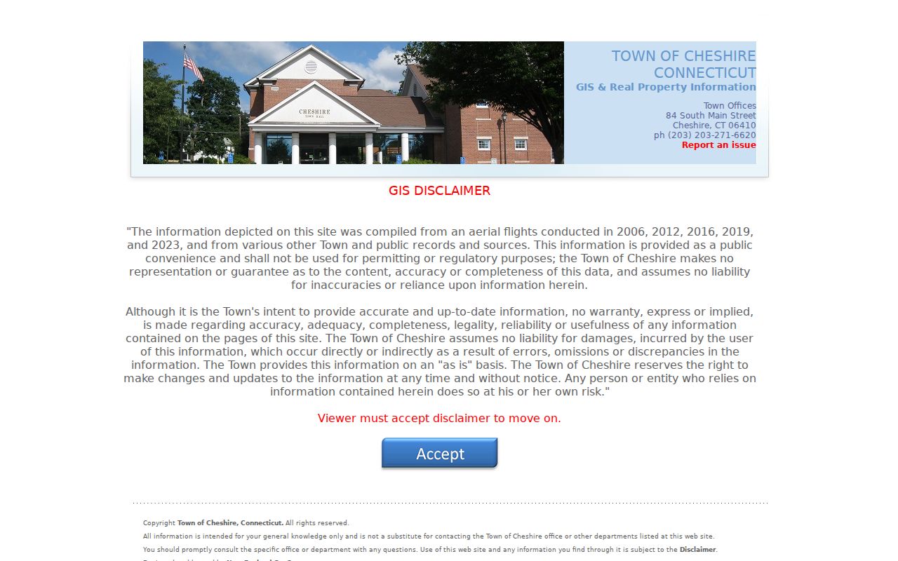
The Cheshire GIS viewer is the source for the street image below. The portal reports parcel edits updated in March 2026, property data updated nightly, and approximately 11,011 parcels. Its disclaimer says the map is for public convenience and not for permitting or regulatory reliance.
Clicking adjacent polygons supplies public parcel identifiers and geometry. Use the length and area tools for orientation only. A map edge, rear lot, open-space parcel, or paper street can make two shapes look close without proving that their legal boundaries touch.
- Parcel
- A mapped land unit with a public identifier and boundary geometry.
- Plat
- A recorded map that shows lots, roads, easements, and subdivision layout.
- Situs
- The physical location assigned to a parcel, distinct from its mailing destination.
- Criss-cross directory
- A historical address-order listing used to find a name from a street or a street from a name.
Cheshire Street Situs and Mailing Addresses
The GIS schema separates LOCATION, STREET, HOUSE_NO, and HOUSE_NUM from MAIL_ADDR, MAIL_CITY, MAIL_STATE, and MAIL_ZIP. LOCATION is the physical parcel clue. MAIL_ADDR is a correspondence clue that may point to an owner, tax recipient, lender, or agent elsewhere. A street directory that blends the two can make a property owner look like an occupant or miss the person who actually uses the address.
Legal descriptions add a third layer. A deed may use map, block, lot, subdivision, unit, easement, or metes-and-bounds language. When the street number has changed, the MBL and legal description are a stronger bridge than the old number alone. Keep the source of every address value in the research note.
Note: A blue assessor street link, a GIS polygon, and a recorded deed can describe one parcel without proving the same person is present there today.
Cheshire Records Searchable by Street
Several record sets can be keyed to a Cheshire road, but they do not carry the same meaning. The table is a coverage map for a street directory search, not a promise of a complete list of people.
| Record set | Keeper | Address key | What it shows |
|---|---|---|---|
| Assessor card | Cheshire Assessor | Number, official street, unit, MBL, unique ID | Displayed owner, use, acreage, zone, buildings, sales context |
| GIS parcel | MapXpress / ArcGIS | House number, street, parcel ID, MBL | Geometry, civic layers, mailing and parcel fields |
| Deed or map | Town Clerk / SearchIQS | Legal description, map/block/lot, book/page | Conveyance parties, map layout, boundary, and subdivision trail |
| Voter street list | Cheshire Registrars | Odd/even range and district | Electoral geography, not individual voter names |
| Permit or notice | Building and Planning offices | Address, parcel, date | Alteration, certificate, application, or public hearing context |
| Library index | Cheshire Public Library | Printed address, name, citation | Dated historical household or event lead |
The parcel key ties the assessor and GIS to deeds and recorded maps. The street name ties the map to district ranges. A directory or newspaper citation supplies a historical date. For a one-person question, change to the Cheshire resident lookup workflow rather than expanding a whole street search into a personal profile.
Cheshire Deed Chain Along a Street
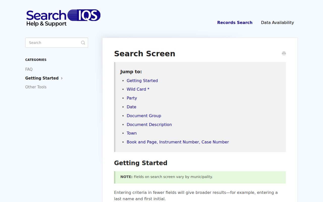
The Cheshire Town Clerk, not a county recorder, holds the local deed and map trail. SearchIQS help describes Party 1 and Party 2, date range, document group and description, town, book/page, instrument number, and case number controls. Last name and first name can be tested separately, and a wildcard can help with a spelling variant.
The SearchIQS search-screen guidance is shown in the image below. The live Cheshire guest route was challenged during research, so the image explains generic controls and not a fabricated Cheshire result.
Start with a current owner name, Cheshire, an approximate date, and a deed or map description. Record the book/page, instrument number, grantor, grantee, legal description, and recording date. Search the prior grantor as an earlier grantee. If the index has no image, ask the Town Clerk for the book or copy.
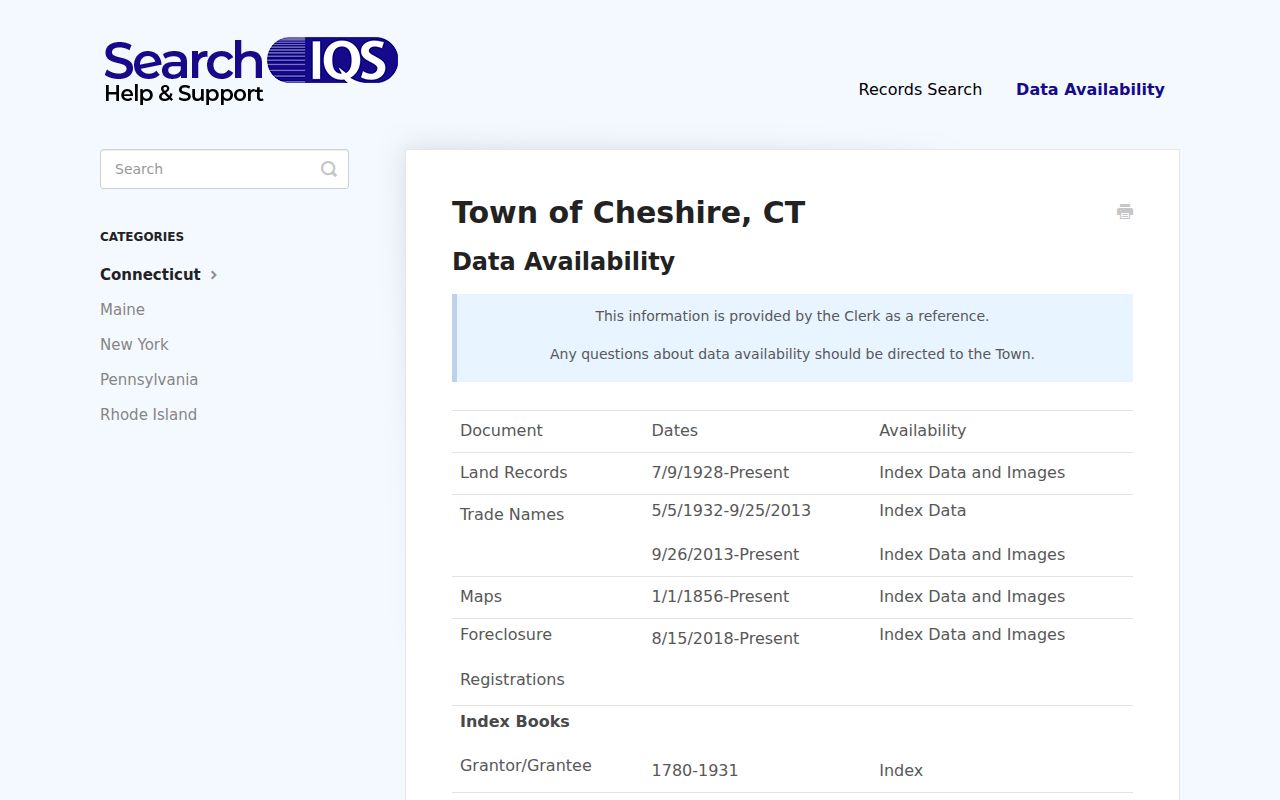
Cheshire’s local page identifies IndexBooks from 1780-1931. SearchIQS help lists land index and image coverage from July 9, 1928 forward, maps from 1856 forward, trade names from 1932, and foreclosure registrations from 2018. Older records may require office books or microfilm.
Cheshire Street Ranges Cross Districts
A named road is not always one civic unit. The official July 2025 voter street list splits Academy Road, Blacks Road, South Main Street, and South Meriden Road by odd/even ranges and voting districts. For example, Academy’s low odd range is assigned differently from higher odd and even ranges, and South Main’s odd numbers split from its evens and higher odd range.
These entries validate a parcel’s district placement, not a household. Pair the street list with GIS voting and polling fields, then keep the voter lookup separate. Connecticut’s full voter file costs $300 and requires a permitted election-related, scholarly, journalistic, political, or governmental use. A street directory must not turn a district map into a named street roster.
The same distinction applies to ZIP, school, zoning, and municipal lines. A street can cross several layers while retaining one name, so the number, parcel, and source date matter.
Cheshire Street Address Permits and Notices
The Building Department handles state-certified building and mechanical permits, including electrical, plumbing, HVAC, fuel-tank, demolition, building, commercial, residential, and addition categories. The public material links an OpenGov application or status route, but research did not locate a complete searchable address result grid. Ask for a particular address, date, and permit category when an older record is needed.
Planning and Development notices add a different address clue. Some applications require a list of tax-parcel owners within 500 feet. That makes a public hearing notice useful for a dated civic event around a parcel, but it does not create a neighborhood directory or prove who lived nearby.
The Cheshire recorded-document fraud-alert page is another address-adjacent tool. It points to SearchIQS name alerts and warns that an alert is not proof of title, current occupancy, or fraud.
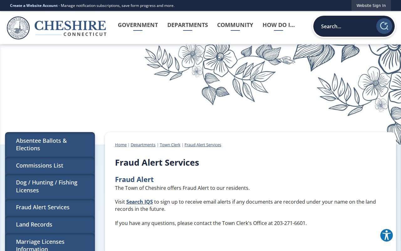
Verify any fee demand or document notice through the typed Town domain and the Town Clerk at 203-271-6601 before paying.
Cheshire Street Parcel Edits Explain Missing Addresses
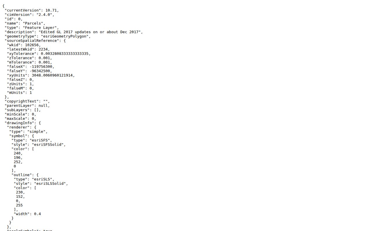
The public ArcGIS parcel schema includes EDIT_TYPE values such as SPLIT PARCEL, COMBINED PARCELS, BOUNDARY ADJUSTMENT, LOT NUM CHANGE, ADDRESS CHANGE, ACREAGE CHANGE, NEW PARCEL, and ATTRIBUTE UPDATE. SOURCE_TYPE can point to a subdivision scan, road as-built, DOT scan, tax map, deed, commercial scan, GPS, or correspondence. These fields are clues to why an old number or lot appears to vanish.
The official Cheshire parcel REST layer supplies the schema image below. It is a public field description, not a claim about a particular private parcel value.
When an old street number fails, test the current address, MBL, map/block/lot, deed legal description, historic viewer, and library directory. The research did not verify a Cheshire renumbering year or a townwide renaming history, so the bridge should come from the Town Clerk or Assessor rather than an invented date.
What a Cheshire Street Directory Cannot Show
A parcel owner is not every person at the address. Non-owner occupants, guests, and household members are not indexed in the assessor card. A mailing address is not proof of physical presence. Utility customer information and delivery records were not located as public sources, and federal DPPA rules limit DMV address use. Safe at Home and the Connecticut voter privacy program can hide a protected resident’s actual address.
A no-result can mean a spelling mismatch, a display window, a record gap, a protected address, or a parcel change. Use the custodian’s correction route when an official record is wrong. Preserve the exact street spelling, number, unit, parcel key, date, and source in any private research note.
Lawful personal use. Cheshire street records support family history, property curiosity, civic research, and reconnecting. Do not use an address search to stalk, harass, intimidate, or harm anyone. Verify an important fact with the office that holds the record.